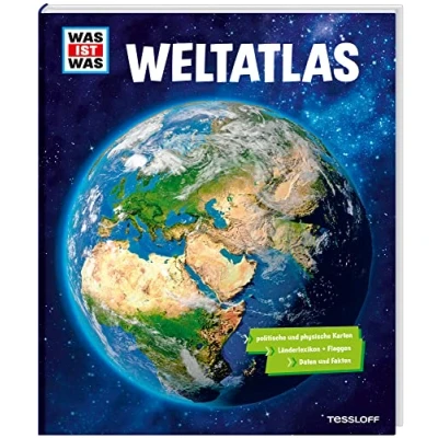
WAS IST Weltatlas
 Beschrijving
Bol
The 232 pages strong atlas from the What is What is What is What is what is certainly not only children will love to take on hand. At any time and in any place, the world atlas takes us to the steep mountains of the Himalayas or dense rainforests of South America. Perhaps it's also the seas, the mysterious deep seas that captivate us. Over 80 cards – specially developed for this children's atlas – promise a picture-like, fun and very intense journey. Young readers from 8 years are carefully prepared: what is a physical, what a political world map? What role do longitudinal and latitude, the equator? After locating your own universal location on planet earth, time zones, climates and habitats are illuminated. Then the great excursion across the continents starts to the peaks of the mountains and to the depths of the oceans, to eternal ice, in deserts and savannahs, and last but not least to the residents - history and stories, faith and knowledge, culture and politics. The text on each left with photos, infographics, funny facts and a small globe to determine the current place of residence, right the map – no one of us will get lost in the icy Oimjakon, 680 kilometres northeast of Jakutsk or on the most remote inhabited islands in the world with the exotic name. Tristan da Cunha A colour management system and a index contribute to the orientation. The country lexicon with national flags is suitable for cheeking and looking
The 232 pages strong atlas from the What is What is What is What is what is certainly not only children will love to take on hand. At any time and in any place, the world atlas takes us to the steep mountains of the Himalayas or dense rainforests of South America. Perhaps it's also the seas, the mysterious deep seas that captivate us. Over 80 cards – specially developed for this children's atlas – promise a picture-like, fun and very intense journey. Young readers from 8 years are carefully prepared: what is a physical, what a political world map? What role do longitudinal and latitude, the equator? After locating your own universal location on planet earth, time zones, climates and habitats are illuminated. Then the great excursion across the continents starts to the peaks of the mountains and to the depths of the oceans, to eternal ice, in deserts and savannahs, and last but not least to the residents - history and stories, faith and knowledge, culture and politics. The text on each left with photos, infographics, funny facts and a small globe to determine the current place of residence, right the map – no one of us will get lost in the icy Oimjakon, 680 kilometres northeast of Jakutsk or on the most remote inhabited islands in the world with the exotic name. Tristan da Cunha A colour management system and a index contribute to the orientation. The country lexicon with national flags is suitable for cheeking and looking
AmazonPages: 232, Edition: 1, Hardcover, Tessloff Verlag
 Prijshistorie
Prijzen voor het laatst bijgewerkt op:


 Productspecificaties
 Gerelateerde
  Naar shop


