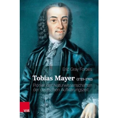
Tobias Mayer (1723 1762)
 Beschrijving
Bol
The orphan Tobias Mayer (1723-1762) developed sophisticated measuring instruments and a very precise theory of the movement of the moon around the earth. This scientific biography is dedicated to his life and work as an autodidact and professor. Tobias Mayer, an excellent draftsman from an early age, was an important figure in the field of cartography. At the age of 16 he drew the first city map of Esslingen, at the age of 18 he published his first book on mathematics and at the age of 22 his mathematical atlas. From 1746 to 1751 he was employed as a research assistant in the important cartographic institute Homann Erben in Nuremberg; During this time he drew and improved about 40 maps. His cartographic skills made his contemporaries aware of the shortcomings of geographical localization. Later, as a professor of economics, mathematics and astronomy in Göttingen (from 1751), he developed his lunar theory, drew a picture of the lunar surface that was unsurpassed for a hundred years, measured the coordinates of almost 1000 stars of the zodiacal circle and won a part for his method of determining longitude at sea British Parliament Length Award.
The orphan Tobias Mayer (1723-1762) developed sophisticated measuring instruments and a very precise theory of the movement of the moon around the earth. This scientific biography is dedicated to his life and work as an autodidact and professor. Tobias Mayer, an excellent draftsman from an early age, was an important figure in the field of cartography. At the age of 16 he drew the first city map of Esslingen, at the age of 18 he published his first book on mathematics and at the age of 22 his mathematical atlas. From 1746 to 1751 he was employed as a research assistant in the important cartographic institute Homann Erben in Nuremberg; During this time he drew and improved about 40 maps. His cartographic skills made his contemporaries aware of the shortcomings of geographical localization. Later, as a professor of economics, mathematics and astronomy in Göttingen (from 1751), he developed his lunar theory, drew a picture of the lunar surface that was unsurpassed for a hundred years, measured the coordinates of almost 1000 stars of the zodiacal circle and won a part for his method of determining longitude at sea British Parliament Length Award.
AmazonPages: 306, Edition: 1, Hardcover, Vandenhoeck & Ruprecht
 Prijshistorie
Prijzen voor het laatst bijgewerkt op:


 Productspecificaties
 Gerelateerde
  Naar shop


