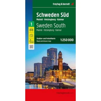
Sweden South Malmo
 Beschrijving
Bol
This detailed road map of Sweden South-Malmo -Helsingborg-Kalmar is very suitable for planning and traveling around the country. The road network is well represented, both the main roads, provincial and local roads. Road numbers are also clearly stated. Distances between places are marked on the map in kilometers, and gas stations are also marked in important places. Shadow shows the relief and sometimes some points with the actual height. Province borders, national parks and reserves are easy to find. Symbols indicate the location of tourist sites, monuments, historically important places and viewpoints. In certain places you can find hotels and campsites, airports, train connections and ports.
This detailed road map of Sweden South-Malmo -Helsingborg-Kalmar is very suitable for planning and traveling around the country. The road network is well represented, both the main roads, provincial and local roads. Road numbers are also clearly stated. Distances between places are marked on the map in kilometers, and gas stations are also marked in important places. Shadow shows the relief and sometimes some points with the actual height. Province borders, national parks and reserves are easy to find. Symbols indicate the location of tourist sites, monuments, historically important places and viewpoints. In certain places you can find hotels and campsites, airports, train connections and ports.
De Wit SchijndelDe Freytag & Berndt Zweden Zuid Malmo Helsingborg Kalmar wegenkaart is perfect om een deel van Zweden te verkennen en de prachtige dorpen en natuurgebieden te ontdekken. De wegen worden duidelijk getoond met wegnummers. Daarnaast worden met iconen campings, tankstations of bezienswaardigheden getoond.
FnacCollectif (Auteur) - Verschenen op 01/08/2024 bij Freytag Et Brendt
AmazonPages: 1, Edition: Neuauflage, Landkaart, FREYTAG BRENDT
 Productspecificaties
| Merk | FREYTAG BRENDT |
|---|---|
| Categorie | |
| EAN |
|
| MPN |
|
 Prijshistorie
Prijzen voor het laatst bijgewerkt op:


 Gerelateerde
  Naar shop


