Philip's Road Atlases Compact Atlas Europe


 Beschrijving
Bol
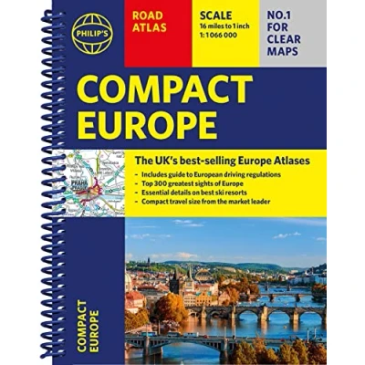
Clear and detailed mapping covers the whole of Europe including western Turkey. With scenic routes, beaches, theme parks, ski resorts and World Heritage Sites, alongside European driving regulations, key travel information and an illustrated listing of the Top 300 not-to-be-missed sights. Coming from the market leader in European mapping, this compact spiral edition gives more to leisure travellers with its unique factfinder of key statistics, currency, driving regs and speed limits for each country. Packed with details of facilities at major ski resorts and top visitor attractions, country by country, with clear route-planning maps, which enable journeys of over 800 miles to be planned without turning a page.Along with detailed road maps, there are car ferries, toll-free and pre-pay motorways, all clearly marked.The continental road network is shown at four different scales from 1:250 000 to 1:4 500 000, with ultra-clear detailed mapping. Scenic routes are highlighted, and the maps show numerous places to visit including beaches, theme parks, national parks and World Heritage Sites


Clear and detailed mapping covers the whole of Europe including western Turkey. With scenic routes, beaches, theme parks, ski resorts and World Heritage Sites, alongside European driving regulations, key travel information and an illustrated listing of the Top 300 not-to-be-missed sights. Coming from the market leader in European mapping, this compact spiral edition gives more to leisure travellers with its unique factfinder of key statistics, currency, driving regs and speed limits for each country. Packed with details of facilities at major ski resorts and top visitor attractions, country by country, with clear route-planning maps, which enable journeys of over 800 miles to be planned without turning a page.Along with detailed road maps, there are car ferries, toll-free and pre-pay motorways, all clearly marked.The continental road network is shown at four different scales from 1:250 000 to 1:4 500 000, with ultra-clear detailed mapping. Scenic routes are highlighted, and the maps show numerous places to visit including beaches, theme parks, national parks and World Heritage Sites
 Productspecificaties
 Prijshistorie
Prijzen voor het laatst bijgewerkt op:
 Gerelateerde producten
 Naar shop


