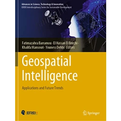
Advances in Science, Technology & Innovation Geospatial Intelligence
 Beschrijving
Bol
This book explores cutting-edge methods combining geospatial technologies and artificial intelligence related to several fields such as smart farming, urban planning, geology, transportation, and 3D city models. This book explores cutting-edge methods combining geospatial technologies and artificial intelligence related to several fields such as smart farming, urban planning, geology, transportation, and 3D city models. It introduces techniques which range from machine and deep learning to remote sensing for geospatial data analysis. The book consists of two main parts that include 13 chapters contributed by promising authors. The first part deals with the use of artificial intelligence techniques to improve spatial data analysis, whereas the second part focuses on the use of artificial intelligence with remote sensing in various fields. Throughout the chapters, the interest for the use of artificial intelligence is demonstrated for different geospatial technologies such as aerial imagery, drones, Lidar, satellite remote sensing, and more. The work in this book is dedicated to the scientific community interested in the coupling of geospatial technologies and artificial intelligence and exploring the synergetic effects of both fields. It offers practitioners and researchers from academia, the industry and government information, experiences and research results about all aspects of specialized and interdisciplinary fields on geospatial intelligence. This book explores cutting-edge methods combining geospatial technologies and artificial intelligence related to several fields such as smart farming, urban planning, geology, transportation, and 3D city models. It introduces techniques which range from machine and deep learning to remote sensing for geospatial data analysis. The book consists of two main parts that include 13 chapters contributed by promising authors. The first part deals with the use of artificial intelligence techniques to improve spatial data analysis, whereas the second part focuses on the use of artificial intelligence with remote sensing in various fields. Throughout the chapters, the interest for the use of artificial intelligence is demonstrated for different geospatial technologies such as aerial imagery, drones, Lidar, satellite remote sensing, and more. The work in this book is dedicated to the scientific community interested in the coupling of geospatial technologies and artificial intelligence and exploring the synergetic effects of both fields. It offers practitioners and researchers from academia, the industry and government information, experiences and research results about all aspects of specialized and interdisciplinary fields on geospatial intelligence.
This book explores cutting-edge methods combining geospatial technologies and artificial intelligence related to several fields such as smart farming, urban planning, geology, transportation, and 3D city models. This book explores cutting-edge methods combining geospatial technologies and artificial intelligence related to several fields such as smart farming, urban planning, geology, transportation, and 3D city models. It introduces techniques which range from machine and deep learning to remote sensing for geospatial data analysis. The book consists of two main parts that include 13 chapters contributed by promising authors. The first part deals with the use of artificial intelligence techniques to improve spatial data analysis, whereas the second part focuses on the use of artificial intelligence with remote sensing in various fields. Throughout the chapters, the interest for the use of artificial intelligence is demonstrated for different geospatial technologies such as aerial imagery, drones, Lidar, satellite remote sensing, and more. The work in this book is dedicated to the scientific community interested in the coupling of geospatial technologies and artificial intelligence and exploring the synergetic effects of both fields. It offers practitioners and researchers from academia, the industry and government information, experiences and research results about all aspects of specialized and interdisciplinary fields on geospatial intelligence. This book explores cutting-edge methods combining geospatial technologies and artificial intelligence related to several fields such as smart farming, urban planning, geology, transportation, and 3D city models. It introduces techniques which range from machine and deep learning to remote sensing for geospatial data analysis. The book consists of two main parts that include 13 chapters contributed by promising authors. The first part deals with the use of artificial intelligence techniques to improve spatial data analysis, whereas the second part focuses on the use of artificial intelligence with remote sensing in various fields. Throughout the chapters, the interest for the use of artificial intelligence is demonstrated for different geospatial technologies such as aerial imagery, drones, Lidar, satellite remote sensing, and more. The work in this book is dedicated to the scientific community interested in the coupling of geospatial technologies and artificial intelligence and exploring the synergetic effects of both fields. It offers practitioners and researchers from academia, the industry and government information, experiences and research results about all aspects of specialized and interdisciplinary fields on geospatial intelligence.
AmazonPages: 190, Edition: 1st ed. 2022, Paperback, Springer
 Prijshistorie
Prijzen voor het laatst bijgewerkt op:


 Productspecificaties
 Gerelateerde
  Naar shop


