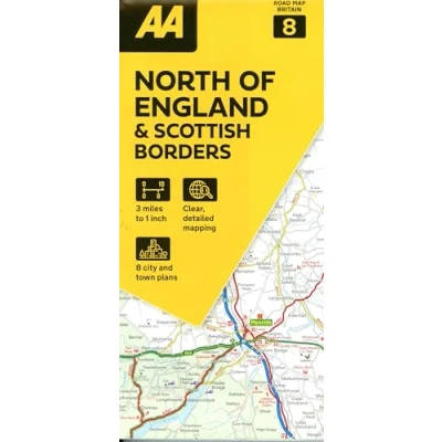
08 North of England & Scottish Borders
 Beschrijving
Bol
Zeer gedetailleerde, goed leesbare wegenkaart. Naast de aanduiding van snelwegen en tweebaanswegen ook vermelding van lokale wegen en weggetjes. Met vermelding van tolwegen, benzinepompen, parkeerplaatsen, bezienswaardigheden, National Parks en overzichtelijke index. Fully updated, this map combines clear design and an easy-to-read scale with more road detail to ensure that you never lose your way. Including information on toll points, service areas, road numbers, motorways, dual carriageways and wide and narrow local roads. National Parks and places of interest are also highlighted including National Trust, English Heritage and Scottish and Welsh heritage sites. The map is presented in a practical slimline format, with a durable weatherproof cover for protection from the elements.
Zeer gedetailleerde, goed leesbare wegenkaart. Naast de aanduiding van snelwegen en tweebaanswegen ook vermelding van lokale wegen en weggetjes. Met vermelding van tolwegen, benzinepompen, parkeerplaatsen, bezienswaardigheden, National Parks en overzichtelijke index. Fully updated, this map combines clear design and an easy-to-read scale with more road detail to ensure that you never lose your way. Including information on toll points, service areas, road numbers, motorways, dual carriageways and wide and narrow local roads. National Parks and places of interest are also highlighted including National Trust, English Heritage and Scottish and Welsh heritage sites. The map is presented in a practical slimline format, with a durable weatherproof cover for protection from the elements.
AmazonPages: 1, Edition: Neuauflage, Landkaart, Automobil Association


 Productspecificaties
 Prijshistorie
  Gerelateerde
  Naar shop


